/
Events
/
Conferences
Rivers as Borders in People’s Consciousness
Author(s):Matjaž Geršič
Co-author(s):Marko Zajc, Jernej Kosi, Zdenko Čepič, Neja Blaj Hribar
Leto:2016
Publisher(s):Inštitut za novejšo zgodovino, Ljubljana, Oddelek za zgodovino Filozofske fakultete Univerze v Ljubljani, Ljubljana
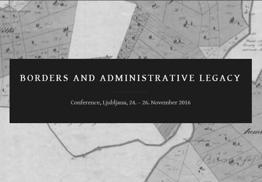
Source(s):Borders and Administrative Legacy
Language(s):angleščina
Type(s) of material:moving image
Rights:
This work by Matjaž Geršič is licensed under Creative Commons Attribution-NonCommercial-NoDerivs 4.0 International
Files (2)
Name:Konferenca Meje.pdf
Size:1.65MB
Format:application/pdf
Permanent link:https://hdl.handle.net/11686/file22586
Description
People conceptualize various natural borders in very different ways. Their relationship to these borders can be determined through the use of cognitive maps. These are a kind of mental image of regions that individuals draw in their minds and then transfer to paper, thereby producing cognitive maps. This study investigated the symbolic power of rivers as borders using the delimitation of Slovenian regions. The results are based on an analysis of about six hundred cognitive maps produced by respondents from across Slovenia. The respondents were selected based on random sampling. The maps, which they drew manually, were scanned and digitized into vector format. This yielded four thousand polygons that were converted to raster format; various mathematical functions were then applied to define regional borders. These were compared with the former provincial boundaries from 1914. It was determined that rivers, despite not being significant obstacles in a region, are the clearest and most enduring delimiting feature in an area.
Metadata (11)
- identifierhttps://hdl.handle.net/11686/37257
- title
- Rivers as Borders in People’s Consciousness
- Meja kot reka v zavesti ljudi
- creator
- Matjaž Geršič
- contributor
- Marko Zajc
- Jernej Kosi
- Zdenko Čepič
- Neja Blaj Hribar
- subject
- mejne reke
- geografija
- naravne meje
- border river
- geography
- natural border
- publisher
- Inštitut za novejšo zgodovino
- Oddelek za zgodovino Filozofske fakultete Univerze v Ljubljani
- date
- 2016
- 24. 11. 2016 - 26. 11. 2016
- type
- video
- language
- Angleščina
- isPartOf
- rights
- license: ccByNcNd