/
Events
/
Conferences
Border Rivers as a Global Feature
Co-author(s):Marko Zajc, Jernej Kosi, Zdenko Čepič, Neja Blaj Hribar
Leto:2016
Publisher(s):Inštitut za novejšo zgodovino, Ljubljana, Oddelek za zgodovino Filozofske fakultete Univerze v Ljubljani, Ljubljana
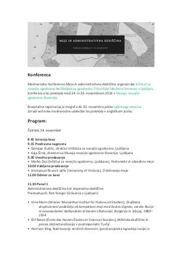
Source(s):Borders and Administrative Legacy
Language(s):angleščina
Type(s) of material:moving image
Keywords:mejne reke, naravne meje, politične meje, geografija, natural borders, political borders, border rivers, geography
Rights:
This work by Drago Kladnik, Matija Zorn is licensed under Creative Commons Attribution-NonCommercial-NoDerivs 4.0 International
Files (2)
Name:Konferenca Meje.pdf
Size:1.65MB
Format:application/pdf
Permanent link:https://hdl.handle.net/11686/file22586
Description
Political borders rely as much as possible on natural borders, especially those created by mountains and rivers. Even though a river in the sense of a watercourse is a natural feature, a border river primarily becomes a social fact when it acquires a demarcating function. As in Slovenia, this applies ‒ sometimes even more distinctly ‒ to rivers throughout the world and in Europe, where this phenomenon has already been systematically studied. This article systematically reviews border rivers for the entire planet, individual continents, and individual countries, highlighting those where the share of river borders is the greatest in relation to the total length of the country’s borders. Border rivers are analyzed with regard to their dimensions, degree of artificial transformation, and important geographical features along and on them, such as major towns, bridges, hydroelectric plants, reservoirs, and river ports. They are categorized with regard to the size of the country, basic natural features (upper, middle, and lower flow), climate zones, and density of settlement along them. The current and historically best-known border disputes along rivers throughout the world are also examined, in which a border river may have only been the scene of events or the object in an international dispute that led to armed conflict.
Metadata (11)
- identifierhttps://hdl.handle.net/11686/37253
- title
- Border Rivers as a Global Feature
- Mejne reke kot globalni pojav
- creator
- Drago Kladnik
- Matija Zorn
- contributor
- Marko Zajc
- Jernej Kosi
- Zdenko Čepič
- Neja Blaj Hribar
- subject
- mejne reke
- naravne meje
- politične meje
- geografija
- natural borders
- political borders
- border rivers
- geography
- publisher
- Inštitut za novejšo zgodovino
- Oddelek za zgodovino Filozofske fakultete Univerze v Ljubljani
- date
- 2016
- 24. 11. 2016 - 26. 11. 2016
- type
- video
- language
- Angleščina
- isPartOf
- rights
- license: ccByNcNd